
The map-making hussar officer
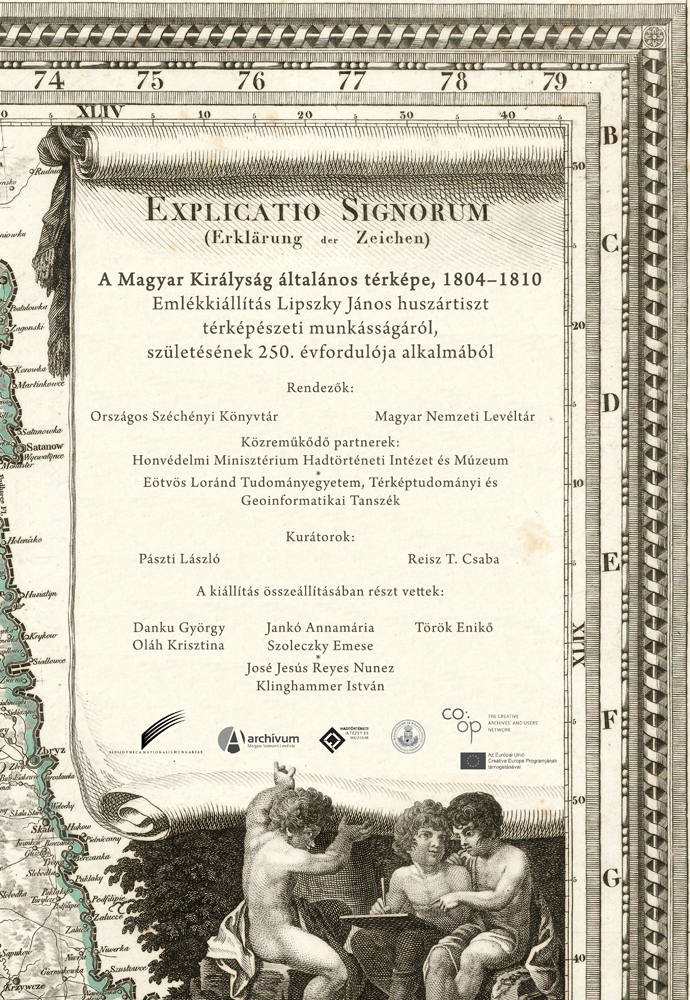 Hussar officer János Lipszky was born 250 years ago, on April 10, 1766. He was famous not so much for his military deeds as for what he had achieved in the field of Hungarian science and culture.Celebrating the 250th anniversary of János Lipszky’s birth, National Széchényi Library and the National Archives of Hungary organized a memorial exhibition.
The Lipszky family
The Lipszky family comes from the village of Lipa situated near Németbród in Moravia (today’s Havlíčkův Brod, Czech Republic). The family arrived in the Kingdom of Hungary with refugees fleeing after the Battle of Fehérhegy, which resulted in the loss of Czech state independence, and they settled in Trencsén. Dániel Lipszky (1623–1675) became member of the city council and was judge of the city on several years. In 1649, he acquired Hungarian noble title for himself and for his successors.
János Lipszky was born to a Lutheran family, on April 10, 1766 in Szedlicsna, County Trencsén (today’s part of Trenčianske Stankovce, Slovakia), but his birth had been recorded in the Catholic parish register of nearby Turna (today’s Trenčianska Turná, Slovakia). He carried out his secondaryschool studies at the Reformed school of Losonc, at the piarist school of Trencsén and then, between 1779 and 1782, at the Lutheran secondary school of Pozsony (today’s Bratislava, Slovakia).
János Lipszky began his military career in 1784 as a voluntary cadet, and he retired as a colonel on January 1, 1813. Then he returned home and dealt with putting in order the family estate and also with correcting his map. He had served in five hussar regiments, fought against the Turks, took part in fights against the armiesof revolutionary France and those of Emperor Napoleon. During the last noble insurrection(1809), he served in the military staff next to Palatine Joseph, and he wrote a comprehensive report about military actions for the ruler.
Lipszky took part in the work of the first military survey of Hungary (1785) and later in the cadastral survey of Hungary (1786–1787). In 1785, he was teaching his fellow regiment officers how to make a map, and in 1808, he proposed to set up an independent school for the regiment.
Making the map of the Kingdom of Hungary
As soon as he started his military career in 1784, János Lipszky began collecting maps, and he devoted his free time to create the map of Hungary, which was originally meant to be an appendix to a military work.
In 1798, his work was supported, even financially, by Count György Festetics, and later by Palatine Joseph. Between 1795 and 1808, not to count taking part in the military events of 1805–1806, Lipszky served as an adjutant of his regiment owner Count Szigbert Vécsey in Pest, and later he was also commanded there in order to make the map, so central government and scholars of the university could help him with his work. With the official support of the Hungarian Royal Council of Governor, associate professor of the university observatory Dániel Bogdanich hadmade the missing astronomical observations(1799–1801), professor of aesthetics Lajos Schedius reported on the undertaking in an astronomical journal and composed the index of place names, while the countiescorrected their place name registers and the map sketches, made by Lipszky.
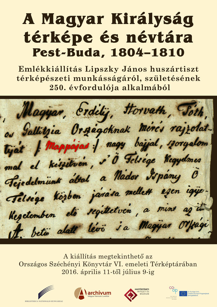
The engraving works of the final maps were made by the Hungarian engravers Gottfried Prixner and Ferenc Karacs. The three-part consisting undertaking was issued 1804 and 1810.map of Hungary, consistingof three parts, was publishedbetween 1804 and 1810. First, the general map of Hungarian Kingdom on nine sheets together with the administrative table on three sheets were issued (Mappa generalis, 1804–1808), then the related index of names (Repertorium, 1808) and finally, the overview map on one sheet (Tabula generalis, 1810) were published. During Lipszky’s stay in Pest, he also made a city mapof Pest-Buda, showing its layoutin 1802, which appeared in print in 1810.
From the originalcopper plates of the map, impressions were made by Marco Berra (1826, 1833, 1849) of Prague and by Vienna-based Artaria Publishing House (1868, 1871), which can be explained by the unprecedented level of accuracy and the richness of details provided by the map. Lipszky’s maps were used at least 40 times in the 19th century for the compilation of other maps of Hungary. The most outstanding of them was Edmund Zuccheri’s map (Charte générale) on four, later six sheets, published on nearly 30 occasions between 1811 and 1880.
By Csaba Reisz T.
Invitation card for the opening ceremony accompanied by a conference
Related content on Földabrosz blog
Venue of the exhibition: NSZL’s Map Collection on Floor 6
The exhibition will be open between April 11 and July 18, 2016 during the opening hours of the Map Collection (Tuesday to Friday, from 9 a.m. until 5 p.m., and on Saturday, from 9 a.m. until 2 p.m.). Visitors who are not registered users of National Széchényi Library can attend our temporary chamber exhibitions for a flat fee of HUF 400.
DATA OF PUBLIC INTEREST | PRIVACY POLICY | © NSZL 2015–2026

| MENU |

|