
Map History Bulletin 3.
Map History Bulletin 3.
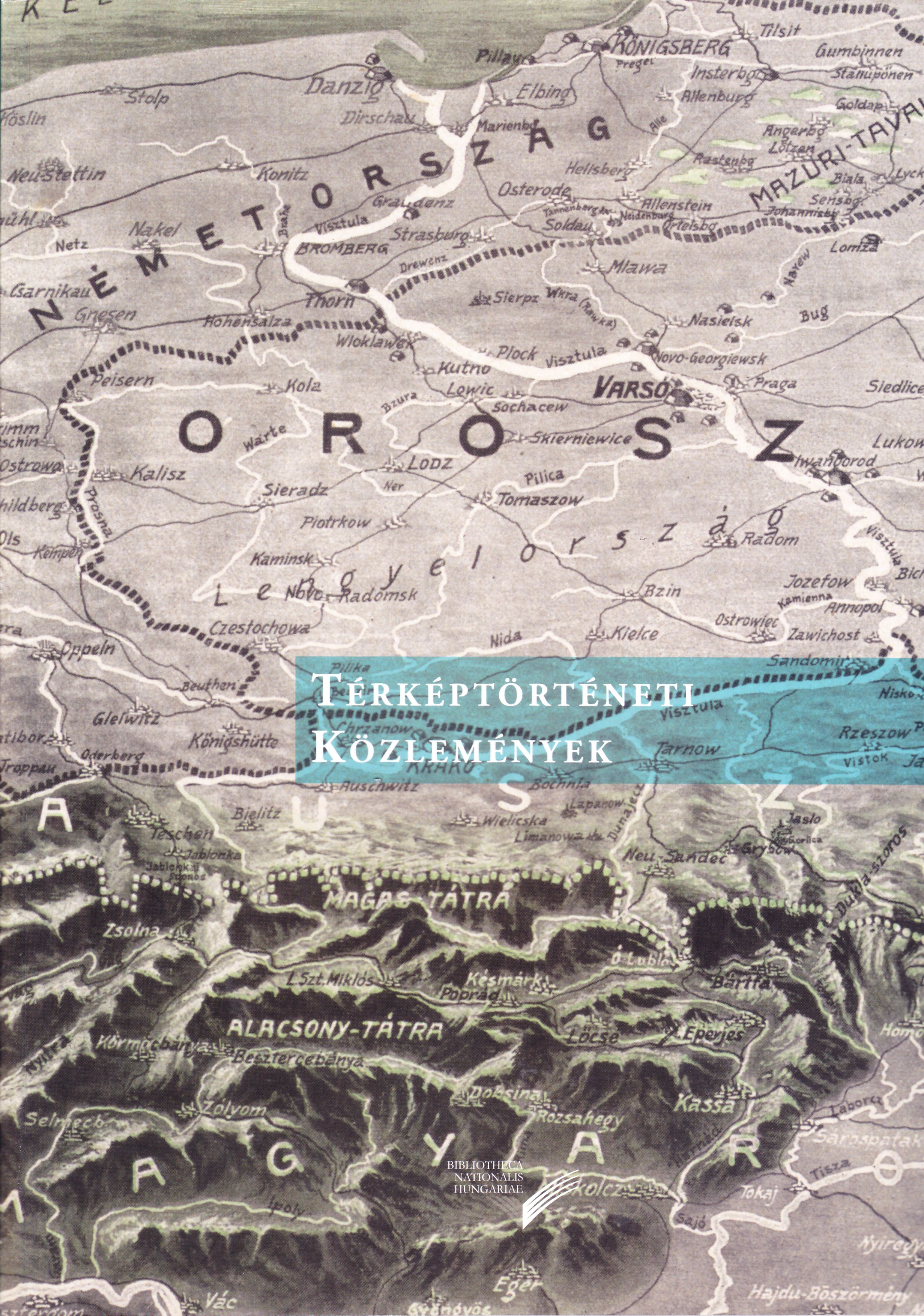
Editor-in-Chief: László Pászti
NSZL, Budapest 2019, 132 pages
ISSN 2560-0656
The third issue, similarly to previous ones, covers a wide range of topics of map history. So far unknown information is revealed about John Speed’s highly decorated map of Hungary, as well as the more widely known so-called Red Map edited by Pál Teleki, which is popular among collectors and non-professional alike. The Szekler-related maps of István Lakatos from Transylvania, made in 1702, are now presented to the public in an honourable way, this time placing the emphasis on the maps and not on the accompanying text. We can also read a study about the works of István Lutsch, also from Transylvania, related to the survey of the Hungarian-Moldavian border, made in the middle of the 18th century, and his elevation to a noble rank as a recognition of his activity. The result of many years of work is the catalogue of the First World War maps related to Hungary belonging to our map collection and the discussion analyzing it in detail.
Contents:
- László GRÓF: John Speed Magyarország-térképei (1627–1676) (Maps of Hungary by John Speed 1627–1676)
- Zsombor BARTOS-ELEKES: Lakatos István 1702-es térképei a székelyekről (István Lakatos’ maps of the Szeklers from 1702)
- Csaba REISZ T.: Lutsch István nemessége (The nobility of István Lutsch)
- Botond Gergő SAMU: Első világháborús térképek az Országos Széchényi Könyvtár Térképtárában (First World War maps in the Map Collection of the National Széchényi Library)
- Dániel Zoltán SEGYEVY: Vörös térkép 100. Teleki Pál néprajzi térképének különböző változatai 1919 és 1941 között (Red Map 100. Different versions of Pál Teleki's ethnographic map between 1919 and 1941)
- György DANKU: Egy ritka töredék: Wolfgang Wissenburg Szentföld-térképe (A rare fragment: Wolfgang Wissenburg’s map of the Holy Land)
- László PÁSZTI: Ami az Atlas Hungaricusból kimaradt. Ungarn und seine Kronländer (What was left out of the Atlas Hungaricus. Ungarn und seine Kronländer)
Map History Bulletin
Using the materials published on the Földabrosz blog, an independent yearbook of map history was launched in 2016 in a more extensive and edited form. This project also repays the old and large debt of the map history profession, as it has really been missing from the professional and research environment of Hungarian map history so far. The yearbook not only lends a more serious appearance to the content, but also, as a publication opportunity, is a significant incentive for staff working in partner institutions and studying map history.
Shopping
Our publications are available in our bookshop, or can be ordered from the Publications Department of the NSZL using the contact details below: Főigazgatói Kabinet kiadványtára, Országos Széchényi Könyvtár, 1276 Budapest P.O. box 1205., phone: 06 1 232-3556, e-mail: kiadvanytar@oszk.hu.
DATA OF PUBLIC INTEREST | PRIVACY POLICY | © NSZL 2015–2024

| MENU |

|